Maritime VR · Prerelease
Familiar waters.
A new perspective.
Step up to a different kind of chart table. Denali brings waterways, chart layers and terrain into virtual reality — with pilot candidates in mind.
A maritime chart table.
A spatial way to study.
 Inside Denali
The idea
Bring the waterway
into the room.
Chart study is about more than recognizing a line on a page. It is about building a picture of the waterway.
Denali is a prerelease maritime VR chart-table trainer. Explore the relationship between the chart, the coastline and the surrounding terrain. Look at familiar places from another angle, revisit aids to navigation, and make space for a better discussion of the route.
Designed around study, familiarity and scenario discussion.
In the headset
A closer look at Denali.
Captured inside the headset.
Prerelease software.
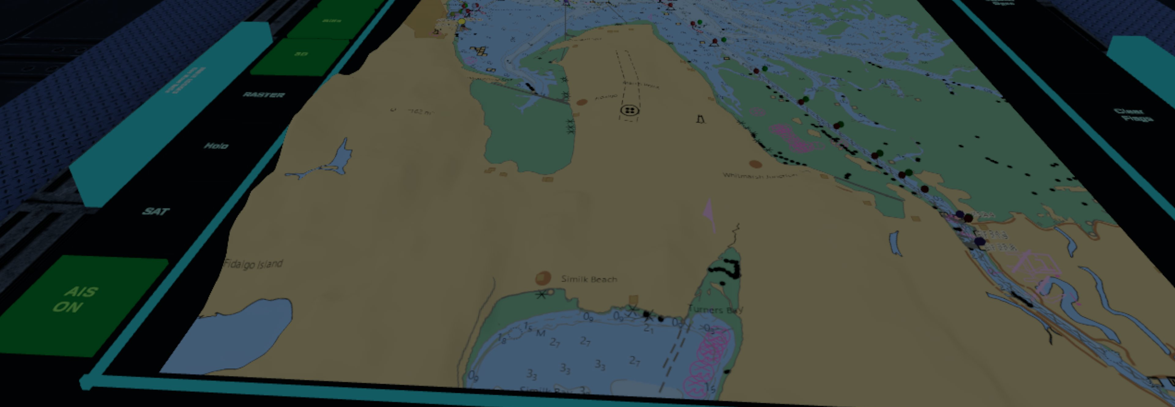
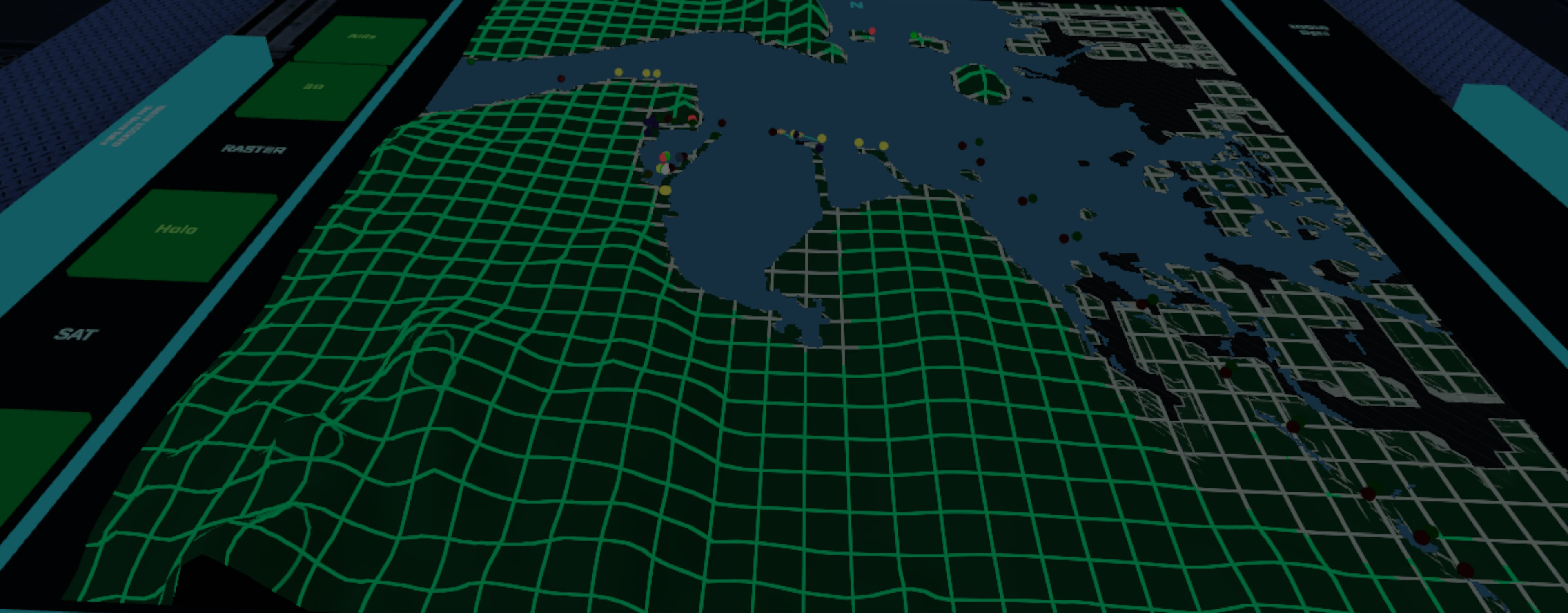
Chart & terrain
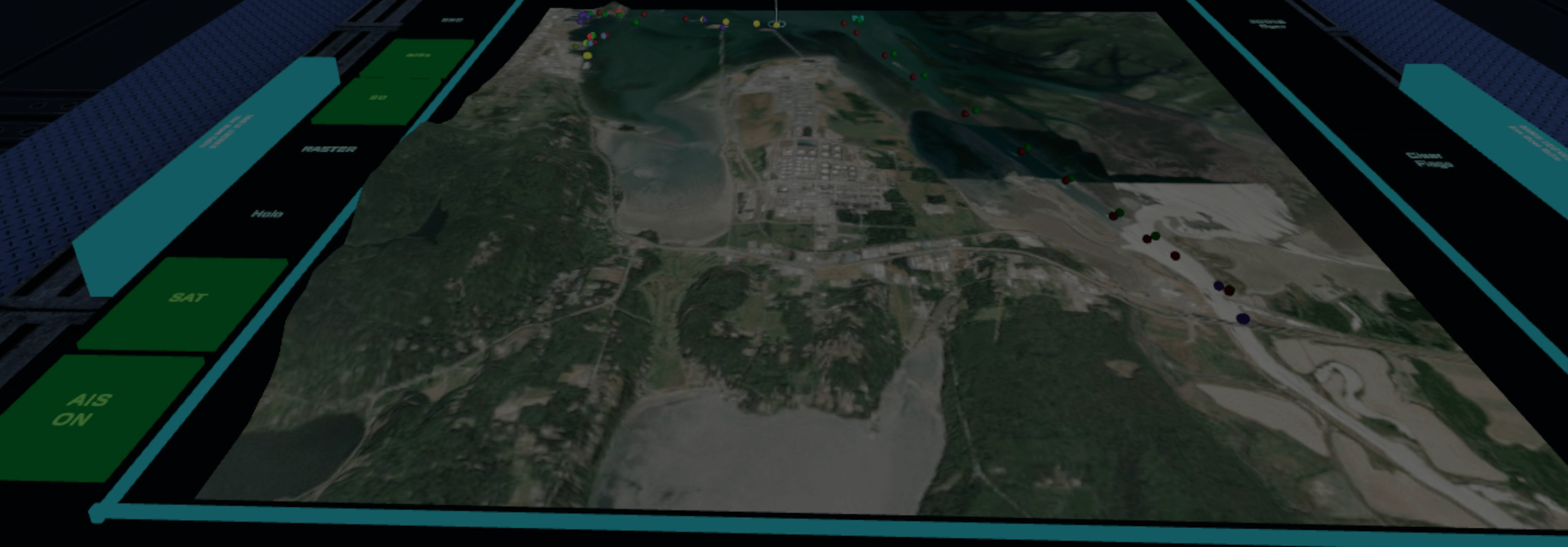
See satellite imagery, chart detail and Holo terrain around Fidalgo Bay and Anacortes.
Aids to navigation
Revisit the marks and features that help form a mental picture of a waterway.
AIS & discussion
Consider vessel traffic in the context of a place, as a starting point for scenario discussion.
Exam-chart overlays
Bring an FCP exam-chart overlay into the virtual chart-table view for another approach to study.
Built around maritime learning
Pilot candidates first.
Room to explore more.
Denali starts with the work of getting to know a waterway.
Its chart-table view and AIS layer could also support port-captain and vessel traffic service (VTS) scenario discussions — possibilities being explored as the project develops.
Help shape the prerelease
Come aboard
as a beta tester.
Interested in trying Denali and sharing what you find?
Tell us a little about your maritime background and what you would like to explore. Pilot candidates, mariners and people interested in maritime training are welcome to get in touch.
hello@denalibridge.comA first look
Denali is taking shape.
This is a preview of the prerelease, shared while the experience continues to develop.